Although digital maps are now easily accessible through computers and mobile devices, wall maps continue to be a valuable resource for education, professional use and interior decoration.
A high-quality wall map provides a comprehensive view of a region, country, continent or the world, helping users understand geographical relationships, distances and locations in a way that is often difficult to achieve on a small screen.
At SELAS, we believe that a map is much more than a decorative feature. It is a tool for learning, inspiration and exploration. That is why we are proud to present our new collection of wall maps, designed for schools, educational institutions, businesses and anyone looking to combine functionality with aesthetics.
Why Choose a Wall Map?
A wall map provides instant visual information and helps users better understand geography, borders, distances and spatial relationships. It is an essential tool used daily by teachers, students, professionals and geography enthusiasts.
Key Benefits
- Enhances learning through visual observation.
- Supports the teaching of geography.
- Provides immediate access to information without relying on electronic devices.
- Adds both functionality and professionalism to offices, meeting rooms and reception areas.
- Enhances the aesthetics of any space.
- Serves as a timeless decorative feature.
Which Wall Map Is Right for You?
Cyprus Map
Ideal for schools, public authorities, businesses and professional offices. It provides a clear overview of Cyprus’s cities, districts, road network and geographical features.
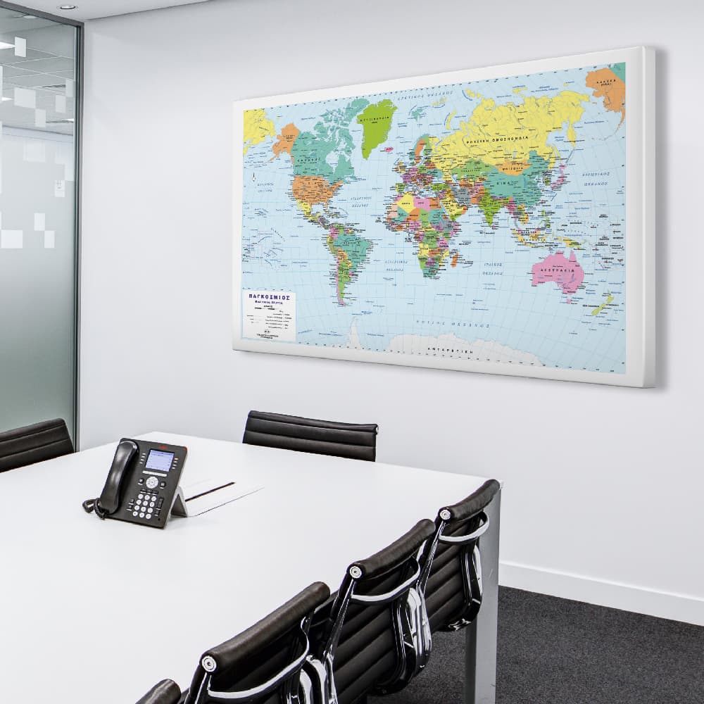
World Map
The perfect choice for businesses with international operations, travel agencies, educational institutions and spaces where a global perspective is important.
Europe Map
An excellent option for educational use as well as for companies working with European markets.
Classroom Maps
Designed to help students and educators better understand geography through clear, easy-to-read layouts and up-to-date cartographic information.
Wall Maps in Modern Interior Design
In recent years, wall maps have made a strong comeback in interior design, serving not only as educational tools but also as attractive works of art. A well-designed map can become the focal point of an office, library, conference room or even a living room.
They combine aesthetics, knowledge and personality, creating spaces that inspire.
The New SELAS Wall Map Collection
For more than 30 years, SELAS has been providing high-quality solutions for education, professional environments and homes. Our new wall map collection has been developed to meet today’s needs while maintaining the highest standards of quality and accuracy.
The collection has been created with a strong focus on quality, precision and durability. It includes updated maps produced with high-quality printing and offers a wide range of options to suit different needs and environments.
Our range includes maps of Cyprus, the World, continents and many individual countries, as well as specialized educational maps designed for schools, educational institutions, businesses and private customers.
Whether you are looking for a map of Cyprus, a world map, a map of Europe or an educational classroom map, the new SELAS collection offers reliable solutions that combine functionality with elegant design.
Frequently Asked Questions
Are the maps suitable for schools?
Yes. Our educational maps are ideal for classrooms and educational institutions and are officially approved by the Ministry of Education, Sport and Youth of Cyprus for their content and cartographic excellence.
Can they be used as decorative pieces?
Absolutely. Modern wall maps are a timeless decorative choice for both homes and professional spaces.
How do I choose the right map?
The right choice depends on how you intend to use it. Political and physical maps are recommended for educational environments, while offices and homes can benefit from maps that combine practicality with aesthetic appeal.
Discover the New SELAS Collection
For decades, SELAS wall maps have been part of classrooms, educational institutions, offices and homes across Cyprus and abroad, accompanying generations of students, educators and professionals. With the same commitment to quality, we continue to create maps that inspire, educate and enhance every space.


Related Articles
- Looking for an interactive map to track your travels? Read our article on Travel Pinboard Maps.
- Interested in three-dimensional cartography? Discover 3D Relief Maps: The Art of Topography in Three Dimensions and learn how relief maps combine geography, technology and design
Discover our new wall map collection and find the perfect map for your school, office or home.
