3D Relief Maps: The art of topography in three dimensions
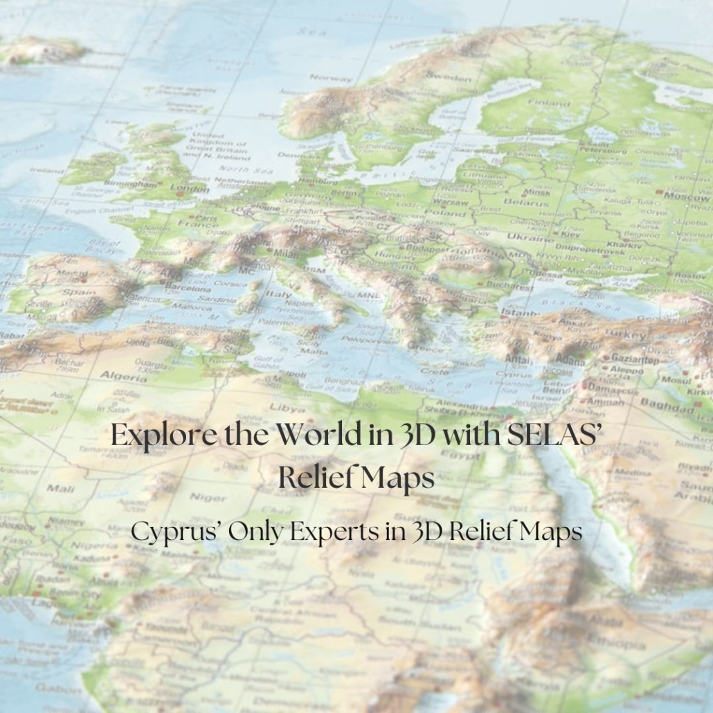
3D terrain maps are three-dimensional representations of a region’s topography, accurately depicting mountains, valleys, coastlines, and the overall geomorphology of an area. Unlike traditional two-dimensional maps, they offer a tactile visual experience, transforming geography into a work of art.
SELAS has extensive experience in the production of 3D Relief Maps, one of our core areas of expertise, combining technology, design, and high aesthetic value.
The production process
The creation of a 3D Relief Map involves a combination of high-precision technologies:
- Collection of geospatial data
- Digital processing and terrain modelling
- Selection of typography and colour schemes based on relief characteristics
- Three-dimensional manufacturing (plastic vacuum-formed relief production)
The result is a unique, highly detailed, and durable piece that combines science, technology, and design.
Why choose 3D Relief Maps
A 3D Relief Map is more than a representation of a landscape. It transforms geographical data into a tangible, visually striking object that combines precision, craftsmanship, and design.
Beyond education and interior design, they can provide valuable support for professionals working with land, infrastructure, development, and spatial planning. They:
- Support real estate development by providing a clear understanding of the surrounding terrain, elevations, access routes, and geographical context of a property or development area.
- Assist architects, engineers, and planners in visualizing how buildings, infrastructure, and other projects relate to the existing landscape.
- Improve project presentations by giving clients, investors, and stakeholders an immediate and easy-to-understand view of a site and its wider surroundings.
- Help communicate topography and terrain constraints that may be difficult to appreciate from conventional maps, drawings, or digital screens.
- Support urban and regional planning by providing a physical overview of terrain, settlements, coastlines, valleys, and other geographical features.
- Enhance construction and infrastructure planning by helping teams understand elevation changes and the relationship between a project and the surrounding landscape.
- Strengthen property marketing by presenting developments, residential projects, resorts, golf courses, and large-scale properties in an impressive and informative format.
- Create a sophisticated visual statement in offices, hotels, museums, educational institutions, and other professional environments.
- Preserve a connection to a place by transforming a meaningful landscape into a permanent, tangible object.
- Combine technology and craftsmanship to transform precise geospatial data into a highly detailed physical representation of the real world.
Explore our 3D Maps Collection
We offer a wide collection of 3D Relief Maps of the World, Europe, and America, as well as many other countries and regions.
Explore the collection here:
https://www.selas.com.cy/products/3d-relief-maps/
Discover Cyprus in three dimensions
Our 3D Relief Map of Cyprus transforms the island’s geography into a captivating three-dimensional experience. From the rugged peaks of the Troodos Mountains to the coastal plains and distinctive shoreline, every feature invites closer exploration.
Created in a limited edition, this exceptional relief map is a beautiful combination of geographical accuracy, craftsmanship and visual appeal. A distinctive piece for collectors, educators and anyone with a passion for Cyprus and its landscape.
Explore the Map here: