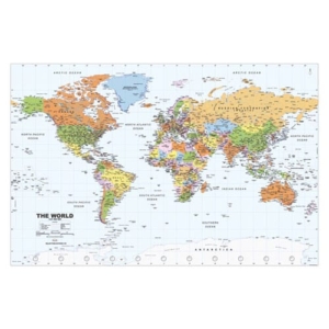
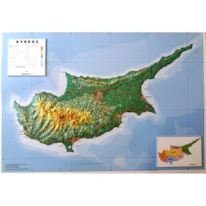
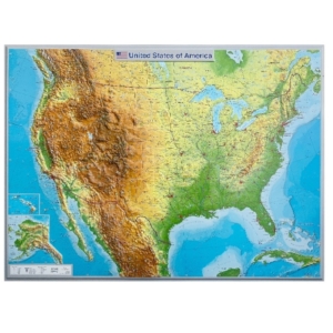
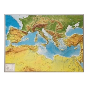
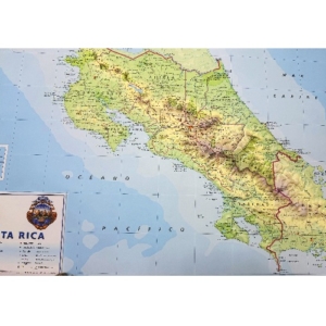
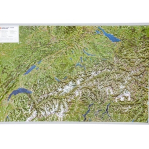
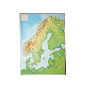
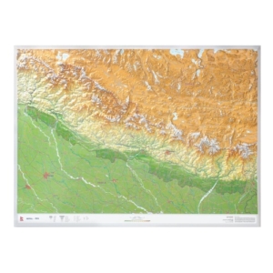
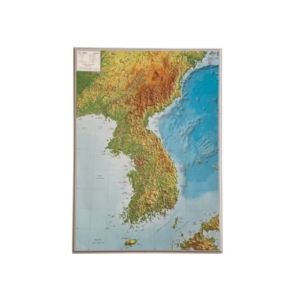
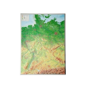
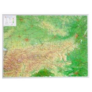
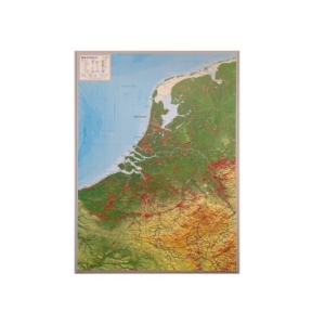
Wall Maps
SELAS offers one of the largest collections of geographical wall maps, available in multiple languages and covering all continents and countries worldwide. For over 33 years, our wall maps have been trusted by thousands of schools, universities, organizations, and offices.
Designed to support modern geography education, our maps follow the Geography Curriculum of Primary and Secondary Education of the Cyprus Ministry of Education. They are accurate, up-to-date, and easy to use, making them ideal for both teaching and reference.
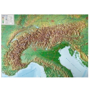
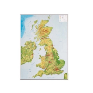
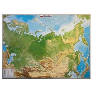
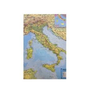
The Wall Maps include detailed representations of hydrography, mountain ranges, valleys, hypsometric and bathymetric shading, as well as settlements classified by population.
Printed on premium-quality paper with protective lamination, our maps are available framed or unframed, and delivered flat or in durable plastic tubes.
Beyond our standard collection, SELAS also produces custom wall maps tailored to the needs of companies and organizations, in any size, design, or format.