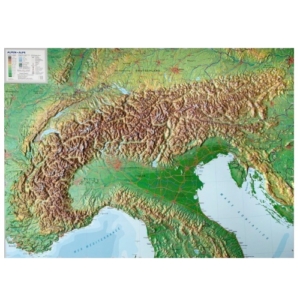
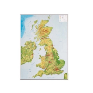
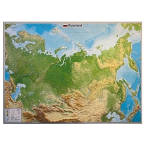
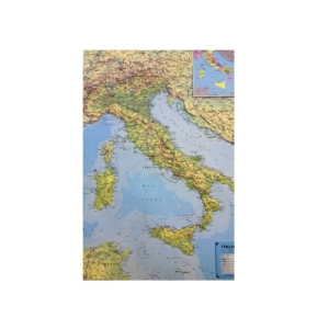
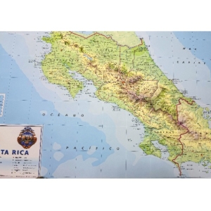
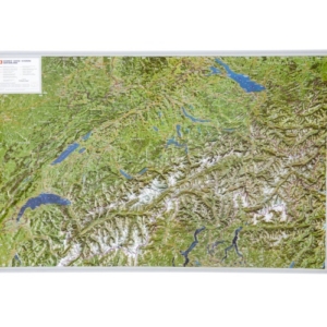
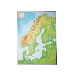
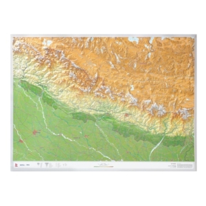
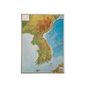
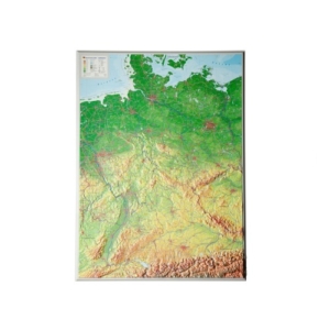
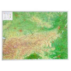
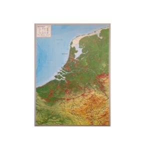
Wall Maps
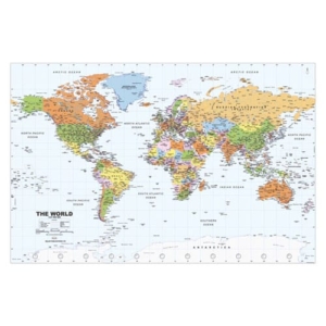
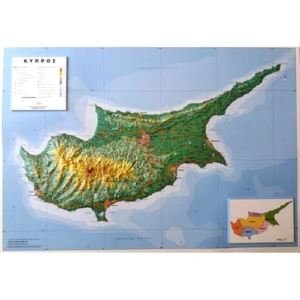
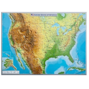
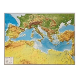
SELAS has the biggest series of geographical wall maps in many languages, which cover all continents and countries worldwide. Our Wall Maps series have been decorating thousands of educational institutions, organizations, companies and offices for 33 years and include the most contemporary world data. SELAS has been in the forefront of providing educational wall maps to schools and our maps follow the Curriculum of Geography in Primary and Secondary Education of the Cyprus Ministry of Education, they are very comprehensive, accurate and user-friendly.
Most of our Wall Maps are recto verso and include a political map on one side and a physical map on the other side, or a physical or political map on one side and thematic maps on the other side. They depict all hydrographic features, mountains, valleys, hypsometric/bathometric tints and settlements classified according to population. They are printed on high-quality paper including lamination, they are available framed or unframed, flat or packed in plastic tubes.
Ιn addition to our line of Wall Maps, SELAS also produces custom wall maps for many companies and organizations, in any size or format.