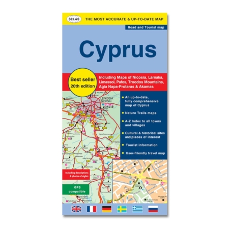
Περιγραφή
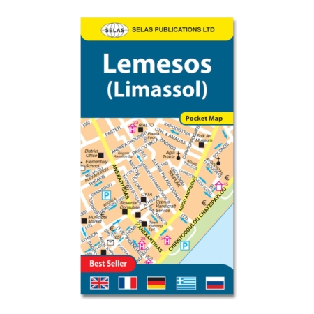
The Road Map of Limassol is locally researched and produced after intensive fieldwork, is very comprehensive, clear, user-friendly, and frequently revised to suit the most demanding user’s requirements.
It is the most accurate and up-to-date Map of Limassol on the market.
The Limassol Town and District Map includes lots of information on the road network, historical and cultural sites and lots of tourist information such as accommodation, picnic sites, camping, beaches, etc.
It includes:
• Street Map of Limassol Town
• Road Map of Limassol District
• Inset Map of Eastern Limassol Beach
• Detailed index to all street names within Limassol Town, hotels and places of interest
A wide range of symbols highlight various facilities, including accommodation, beaches, sport and recreational facilities, archaeological sites, and other places of interest.
Includes over 7,000 entries and explanations in six languages (English, French, German, Swedish, Greek, and Russian).
It contains two up-to-date fully comprehensive maps of the broader Limassol Town and the eastern Limassol tourist area on one side and a Road Map of Limassol District with a street index on the reverse side. It also contains a detailed index to all places of interest, government offices, hotels, and services.