Description
Educational Globe – Blank Political Map
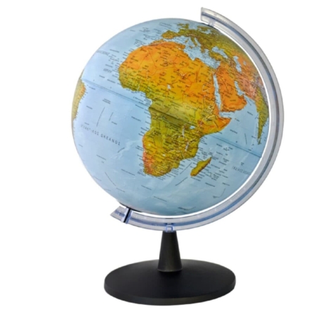
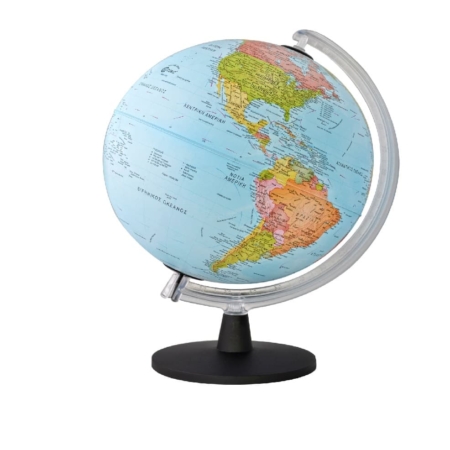
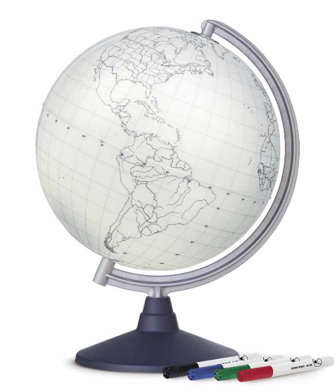
The Blank Political World Globe is an educational tool featuring a monochrome political map that clearly displays country borders and continental boundaries, without printed names or text.
Its special writable surface allows users to write directly on the globe using dry-erase markers, adding country names, capital cities, geographical information or marking locations and routes. All markings can be easily erased, making it ideal for repeated use and interactive learning activities.
Combining geographical reference with hands-on learning, this globe offers a creative way to explore the world and understand its political geography.
Key Features
- Monochrome political map showing country borders and continental boundaries
- Blank surface without printed names or text
- Writable surface compatible with dry-erase markers
- Easily erasable and reusable
- Ideal for interactive geography lessons and educational activities
- Includes 4 dry-erase markers
- Durable plastic base
Ideal For
This interactive globe is perfect for:
- Schools and classrooms
- Geography teachers and students
- Educational institutions
- Home study areas
- Libraries and learning centres
- Geography enthusiasts
Educational Value
The globe encourages active participation and helps users explore:
- Countries and their political boundaries
- Capital cities and major locations
- Continents and their geographical relationships
- Global positioning and spatial awareness
- Geographical routes and connections between places
By allowing users to add and erase information directly on its surface, it transforms geography learning into an engaging, hands-on experience.
Why Choose This Globe?
Combining a clear political map with a reusable writing surface, this globe offers a versatile approach to geographical learning. It encourages exploration, experimentation and active learning, making it a valuable educational resource for classrooms, schools and home use.