
Description
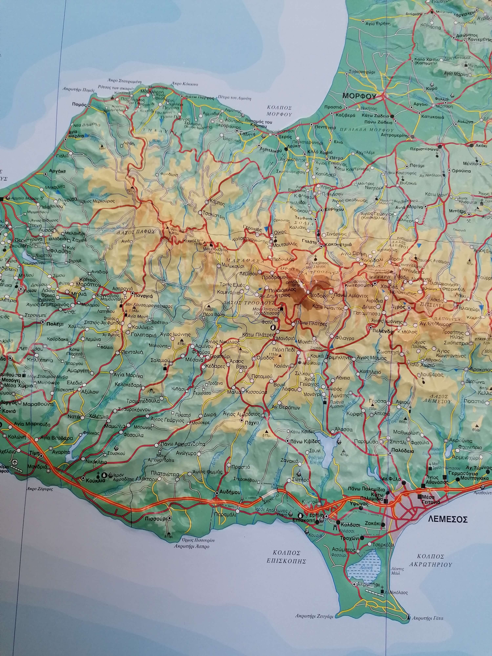
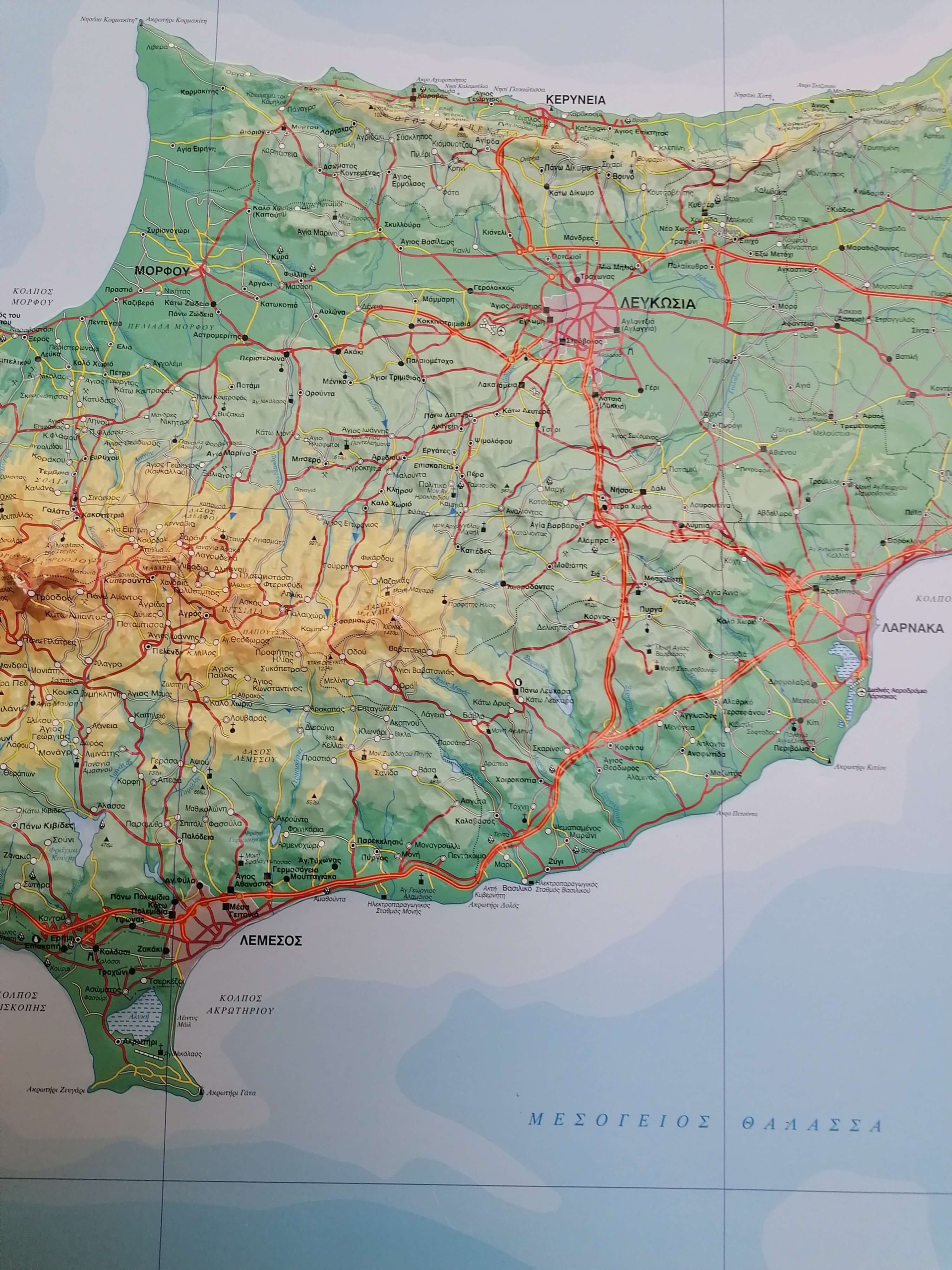
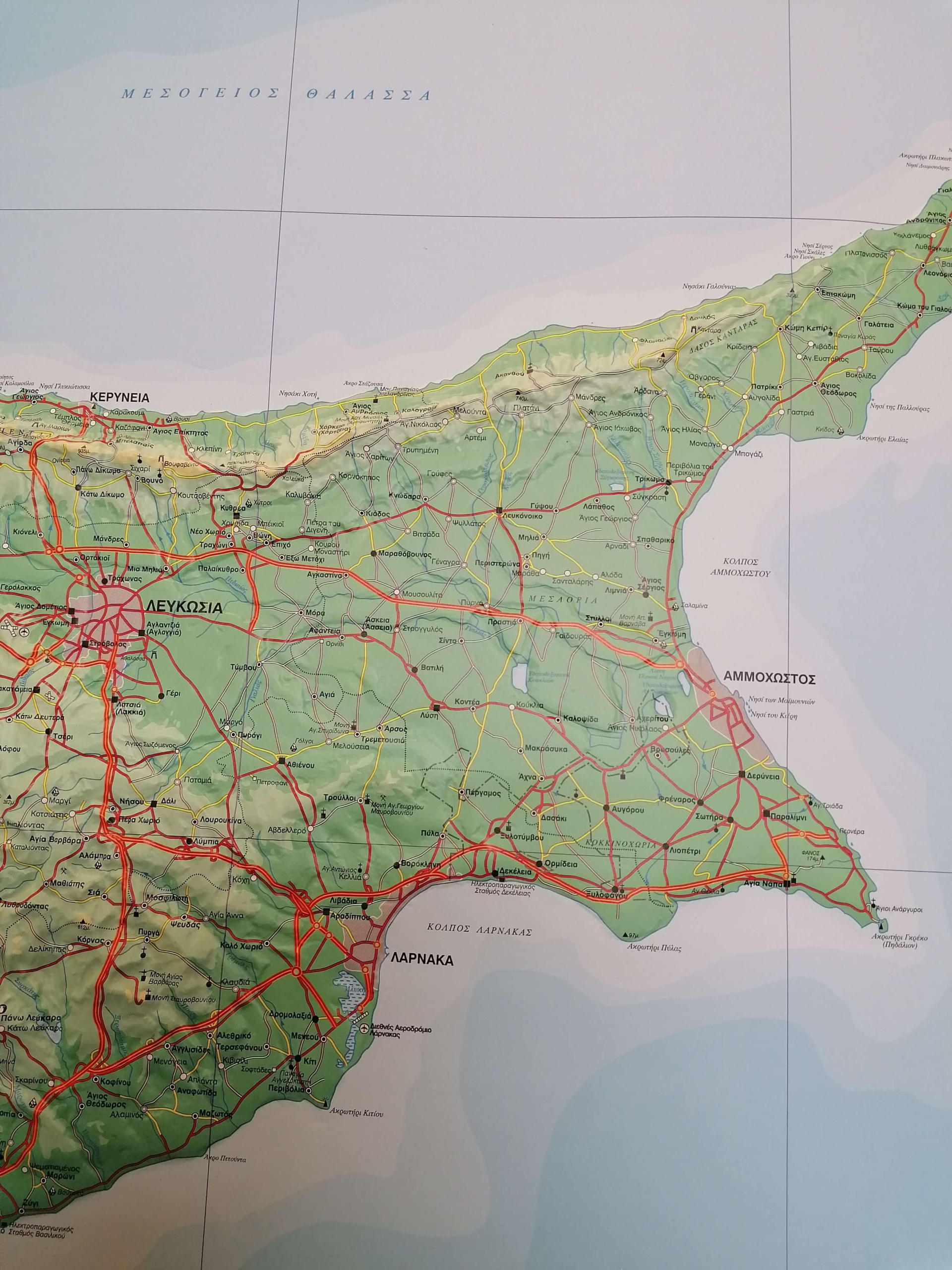
A unique 3D Relief Map of Cyprus, designed to bring the island’s geography and landscape to life through a highly detailed three-dimensional representation.
The colourful 3D map of Cyprus depicts the island’s terrain using elevation colours and height spots, clearly illustrating its plains, mountain ranges, valleys and peaks, as well as hydrographic features such as rivers, lakes and dams. It also highlights distinctive and unique landforms across Cyprus.
The road network is classified according to the importance of each road and includes even unpaved roads. Settlements are classified according to population size, while the map features a wide range of geographical, historical and cultural points of interest, including monasteries, churches, archaeological and historical sites.
The 3D Relief Map of Cyprus has been meticulously created by SELAS’s expert team of geographers and cartographers, following high cartographic standards. It is an educational resource for schools, students, educators and academics, while also serving as a distinctive decorative and collectible piece for homes and offices.
The map is approved by the Ministry of Education, Sport and Youth of Cyprus.
An exclusive SELAS product.