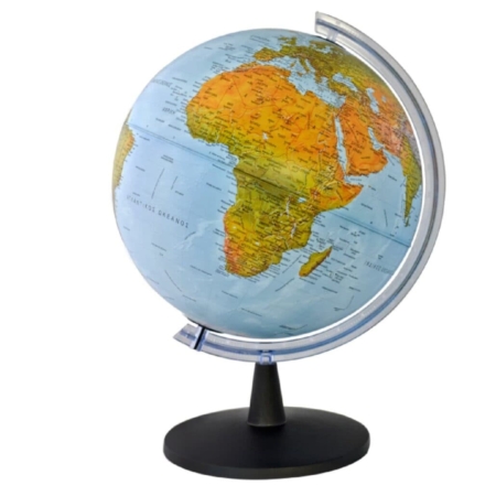


Description
Discover countries, cities, borders, and the geographical features of our planet with the World Political Wall Map in English (100×70 cm). Designed to offer a comprehensive overview of world geography, this detailed wall map is an excellent reference resource for educational, professional, and personal use.
Part of a new series of detailed and comprehensive wall maps, it brings together essential political, geographical, and transport information in one convenient format. Whether used for classroom teaching, independent study, office decoration, or simply to explore the world, this map helps users develop a better understanding of the world’s countries and their geographical relationships.
Detailed Geographical and Political Information
The map features a wide range of information to help users explore the world at a glance, including:
- All countries of the World: Discover the countries that make up our planet and explore their geographical distribution across continents.
- National capitals and major cities: Locate capitals and important urban centres worldwide, making it easier to understand the global distribution of population and major cities.
- International boundaries: Identify country borders and gain a clearer understanding of the political divisions of the world’s regions.
- Main transport routes: View principal routes that help illustrate connections between different geographical areas.
- Hydrographic features: Identify major rivers, lakes, and other mapped water features that shape the world’s physical geography.
- World Time Zones: Learn about the distribution of time zones around the globe and understand how local time differs between geographical regions.
By combining political boundaries with physical and transport-related information, this world wall map provides a broad and informative view of global geography.
An Educational Resource for Schools and Learning
The World Political Wall Map is particularly suitable for educational environments. Its large 100×70 cm format makes it a useful visual reference for geography lessons, classroom discussions, presentations, and independent learning.
Pupils and students can use the map to identify countries and capitals, locate major cities, explore international borders, and develop their understanding of continents, waterways, and time zones. Teachers and educators can also use it as a supporting resource when explaining geographical concepts and the relationships between different parts of the world.
The map is approved by the Cyprus Ministry of Education, Sport and Youth, making it a relevant resource for educational use in Cyprus.
Suitable for Offices, Study Rooms, and Homes
Beyond the classroom, this world political map is a practical addition to offices, libraries, universities, study rooms, and other professional or educational spaces. It provides a convenient geographical reference for students, teachers, academics, professionals, travelers, and anyone with an interest in world affairs and geography.
Its comprehensive geographical content makes it ideal for everyday reference, while its decorative appeal makes it a stylish addition to any office, classroom, or home.
A Thoughtful Gift for Geography Enthusiasts
Looking for an educational and meaningful gift? This World Political Wall Map is a great choice for students, teachers, travelers, geography enthusiasts, and curious minds of all ages. It is suitable for birthdays, school achievements, graduations, and other special occasions.
Discover the World with MapShop
Bring world geography into your classroom, workplace, or home with this detailed English-language political wall map. Combining political and geographical reference information in one large-format map, it is a valuable resource for learning, teaching, decorating and exploring our planet.