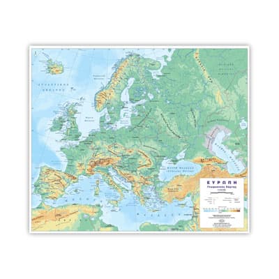
Description
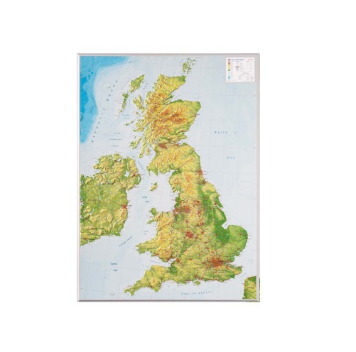
This unique 3D Relief Map of the United Kingdom gives new dimensions to Cartography.
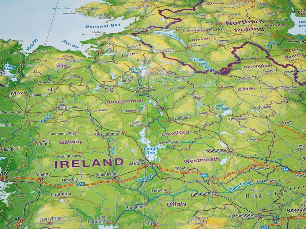
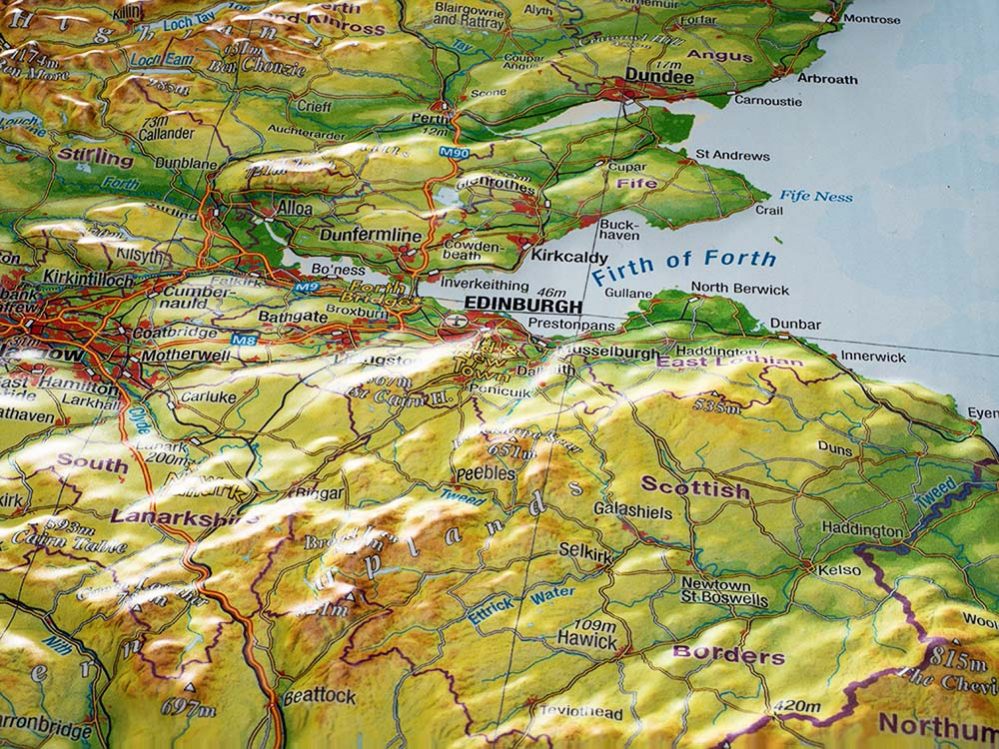
The exceptional 3D Relief Map of the United Kingdom (scale 1:1.100.000) measures 770×570×20 mm and features a boost factor of approximately 10, delivering an impressive three-dimensional visualization of the country’s terrain.
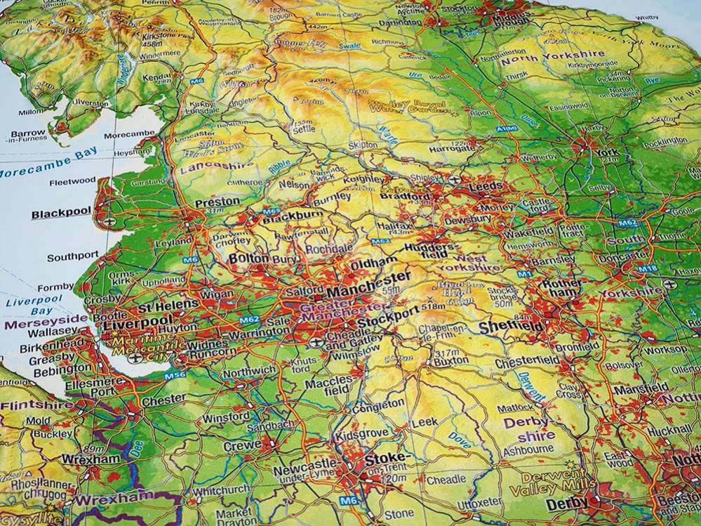
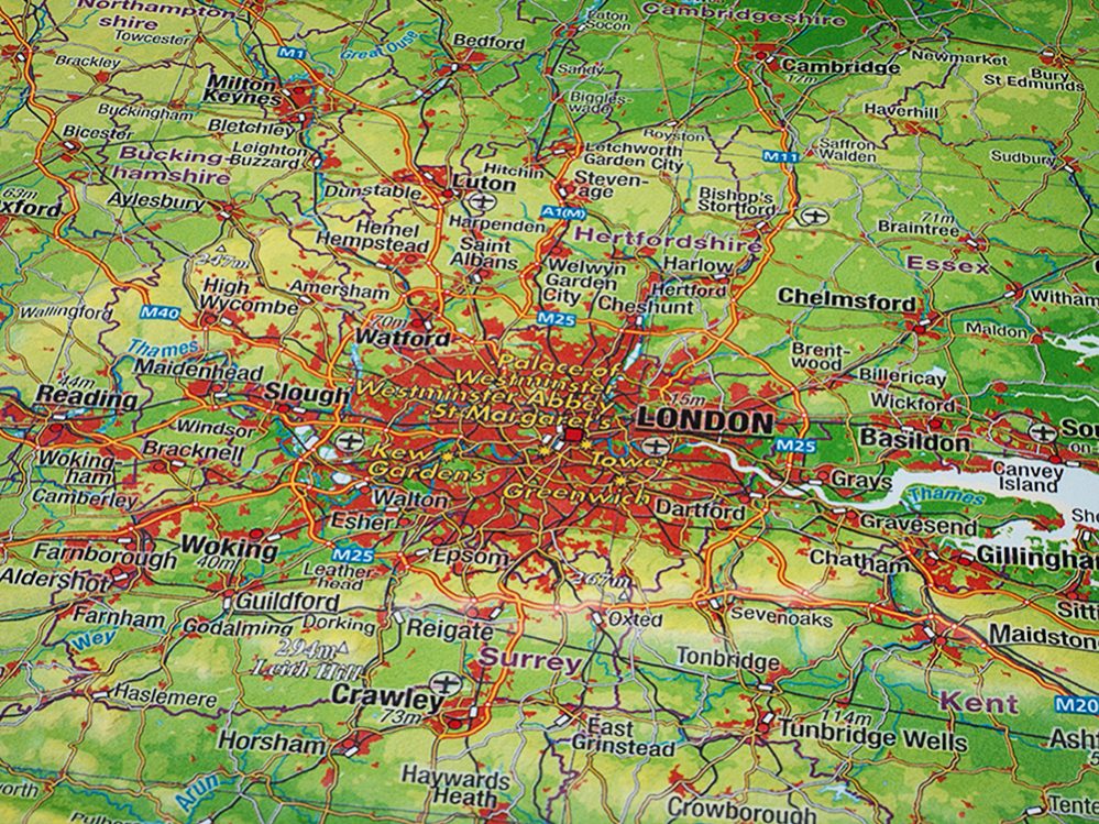
The map depicts in outstanding detail the natural relief using hypsometric tints, clearly illustrating plains, mountain ranges, valleys, and peaks, as well as hydrographic features such as rivers, lakes, and dams. The road network is carefully classified into categories, including motorways, major highways, and the main railway system.
All settlements and city names are presented in English.
Produced according to the highest cartographic standards and using avant-garde technology, these 3D maps bring a new dimension to cartography. Beyond their educational value, they also represent a distinctive piece of art and make a truly special gift for geography lovers.