
Description
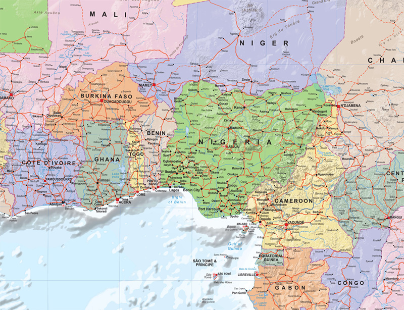
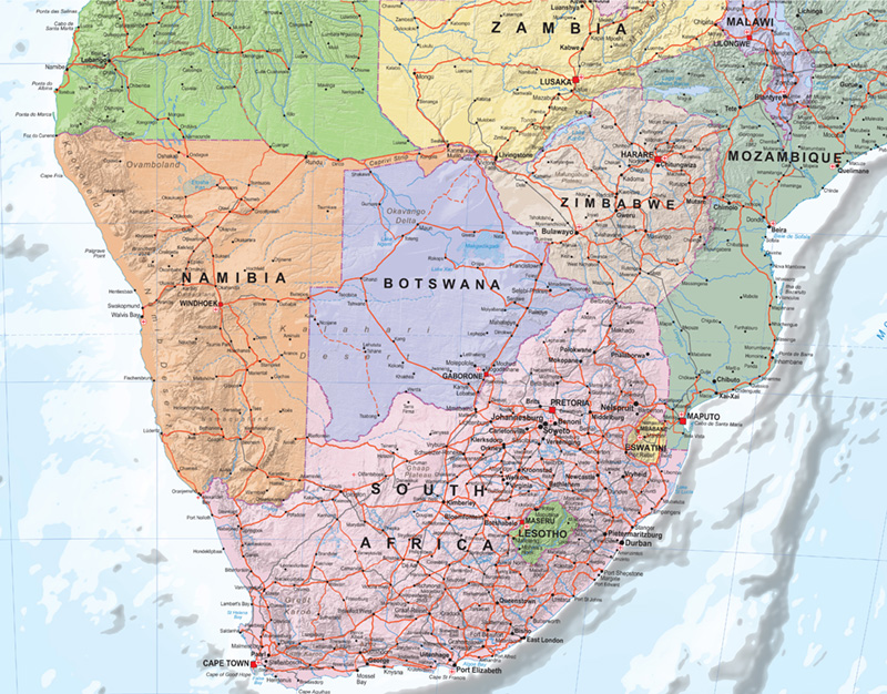
Explore the geography of Africa in impressive detail with this beautifully designed Political Wall Map of Africa, measuring 100 × 115 cm.
Featuring all African countries, borders, capitals and major cities, the map combines clear political information with digital hill shading, creating a distinctive three-dimensional effect that brings Africa’s diverse landscapes to life.
The map also includes a dedicated inset featuring Africa’s Islands, together with a convenient country and time-zone listing making it an informative and practical reference for both learning and everyday use.
Key Features
- Size: 100 × 115 cm
- Complete political map of Africa
- All African countries and international borders
- Capitals and major cities clearly shown
- Digital hill shading for enhanced terrain perspective
- Inset map of Africa’s Islands
- Listing of African countries and their time zones
- Clear English-language design
- Ideal for schools, classrooms, offices and educational institutions
- An excellent reference map for anyone interested in Africa’s geography
Whether used as an educational resource, classroom teaching aid, office reference, business and trade tool, or decorative wall display, this Africa Political Wall Map provides a detailed, informative and engaging way to explore the continent and its geography.